
Summary
The ADCIRC Prediction System™ (APS) is a coastal hazards prediction system built around the ADCIRC coastal circulation and storm surge model.
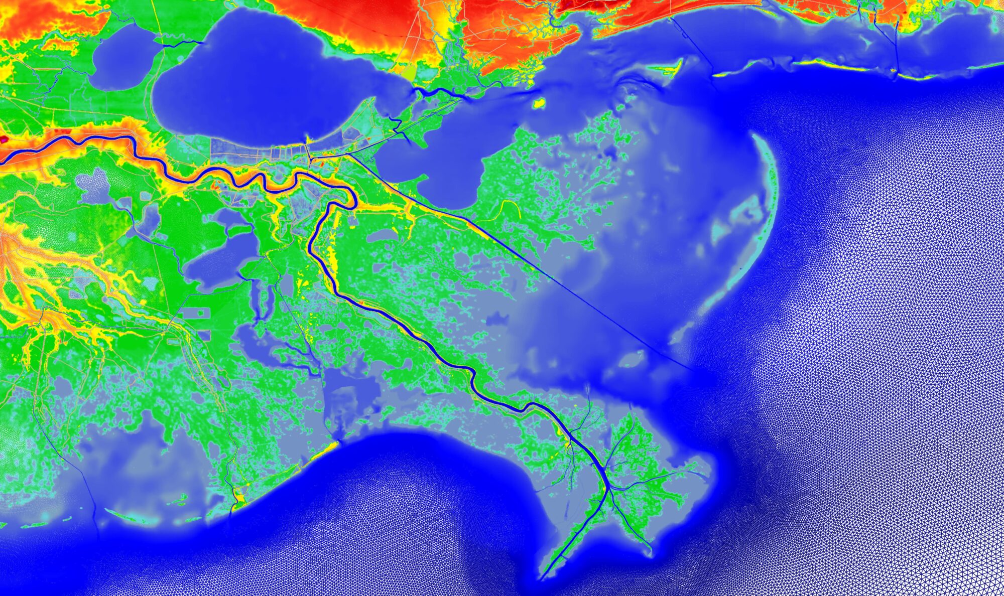
Coastal water level, wave and inundation forecasts are provided as part of an active, community-based research program to improve and expand these capabilities. Forecasts for the US East and Gulf coasts are updated four times daily using meteorological forecasts from the Global Forecast System.
During tropical events additional water level, wave and inundation model forecasts are provided using alternative meteorological forecasts. APS results can be viewed using the APSViz webportal and are also available in different data product formats upon request.
In year 10 we will continue to improve the accuracy and efficiency of the APS; expand the products and services that are available to end users; and provide interpretation and dissemination of storm surge/flooding products during major coastal storm events to maximize the value to end users. This project supports development, implementation and coordination across the APS portfolio, from capability improvements to product transition.
Investigators

University of North Carolina at Chapel Hill
Other Research Participants/Partners
- Taylor Asher
- Dr. Austin Becker, University of Rhode Island
- Dr. Brian Blanton, RENCI Director of Earth Data Sciences (EDS)
- Dr. Casey Dietrich, North Carolina State University
- Dr. Clint Dawson, University of Texas at Austin
- Dr. Isaac Ginis, University of Rhode Island
- Dr. Shintaro Bunya, University of North Carolina at Chapel Hill
- Zach Cobell, The Water Institute
