
Summary
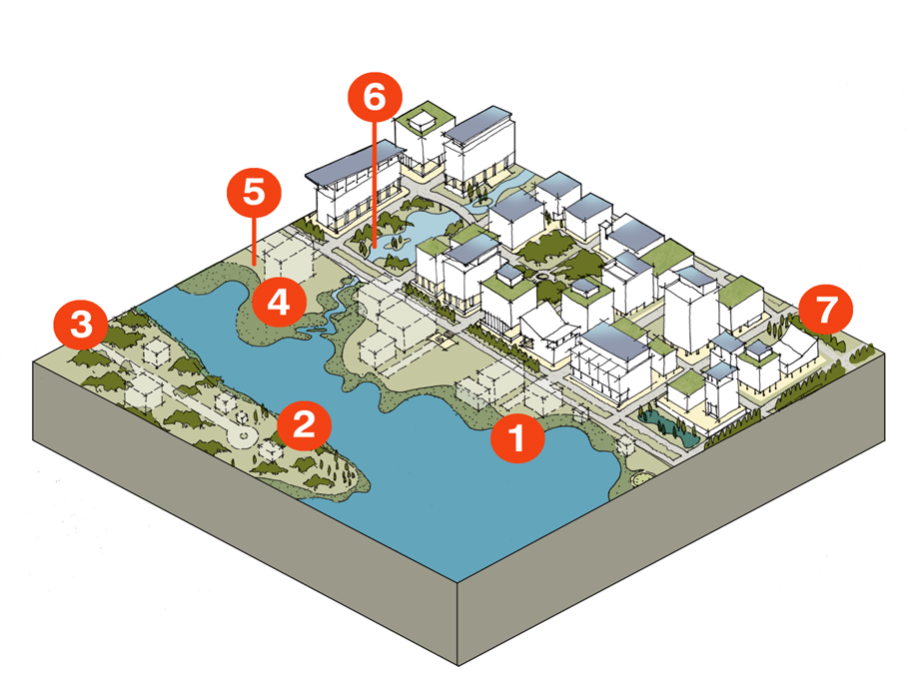
The Coastal Hazards Overlay District Guide will provide actionable information to communities as they seek to reduce natural hazards risk and adapt to a changing climate by providing the tools needed to apply a series of risk reduction measures in coastal communities that are already located in vulnerable locations. The range of actions and the ability to apply more rigorous standards than currently exist in defined areas provides a flexible tool for communities to use as they struggle to confront this issue. Specific risk reduction adaptation techniques are organized across widely recognized strategies, including managed retreat, avoidance, protect, and accommodate. The overlay district concept is a widely used land use tool for other purposes (i.e., historic preservation, economic development) that will be applied as a means to advance disaster resilience, an application that remains underutilized; nor is there clear guidance how to do this.
The project will operationalize key themes of the article titled “New Urbanism and the Hazard Transect Overlay District: Improving the Integration of Disaster Resilience and Design in Coastal Areas” (Smith, Anderson and Perkes 2021), which introduced the idea, and to expand the concept to a variety of urban forms. The article established the theory undergirding the value of a natural hazards overlay tool and its importance in practice. Now we seek to advance the land use planning tool’s practical application as a natural hazard overlay district is useful for both form-based zoning like smart code and use-based zoning, both of which are widely used.
In Year 8 we refined the concept (to include creating a coastal hazards overlay district framework) and apply the resulting draft overlay district framework in a host coastal city. Going through this process and creating the resulting framework will allow us to better operationalize an important idea that can be applied on the ground in coastal communities across the U.S.
Investigator

North Carolina State University
Other Research Participants/Partners
- Allison Anderson, unabridged Architecture
- David Perkes, Professor Mississippi State University, Director of the Gulf Coast Community Design Studio
- Kelsey Johnson, GCCD Chief Planner
- Brian Faulk, Director of the Project for Lean Urbanism, Director of the Center for Applied Transect Studies (501(c)3), and the author of Transect Urbanism
- Matt Lambert, lead author of the most recent New Urbanist SmartCode version 10
- community officials in Pass Christian, MS, Biloxi, MS, and Mobile, AL
- Wendy Saunders, Principal Advisor: Risk Reduction & Resilience Champion of Land Use Planning Earthquake Commission in New Zealand
- Dr Lee Beattie, Architecture Professor from Auckland University.